From animal tracks to overgrown fire and logging trails, back in the early days of MTB every unsealed track was worth a look see. That none were designed in any way for MTB just added to fun and adventure. The Bump Track in Mowbray National Park is one such trail that has been enjoyed by mountain bikers for over 25 years. After a great day at Atherton Forest Mountain Bike Park I figured it was fitting to head back in time and enjoy some old school MTB on the infamous Bump Track before continuing on to Smithfield.
The Bump Track was first blazed in 1877 and by 1880 was one of Queensland’s most important and colorful wagon roads, serving as a lifeline for the folk of the interior. According to National Parks Queensland:
The Bump Track was infamous for its steepness. Passengers on the horse-drawn coach service had to get out and walk when going up or coming down the section known as Slatey Pinch. Later, motorists had to be helped up by horse teams and, coming down, they attached a log to the rear of their cars. This steadied the vehicle and acted as a brake. Notorious sections of the Bump Track were given names. Slatey Pinch, less than 1 km from the bottom of the track, is a cutting through slate rock at a steep 1 in 3 grade.
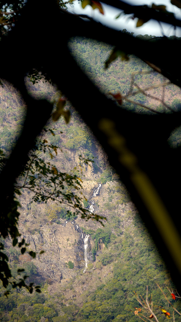
Add in rainforest, waterfalls and creek crossings and it sounds perfect for MTB. In fact participants in the annual RRR (Rural Rainforest Reef) Mountain Bike Challenge still rip down the Bump Track each year!
The bottom of Bump Track is easy to find. Turn off the Captain Cook Highway onto the Mowbray River Road. After crossing the river take the right hand fork onto Connelly Road. The Bump Track starts on your left about 3.5 km from the highway just before Connelly Road ends. With the steel gate and signposts you can’t miss it!
Even though I arrived early in the morning the hike a bike up the first section of the Bump Track proved to be a hot and sweaty job. I guess you get that when the trail rises 300 meters in 1.5km! The push up was a good opportunity to check out the many water bars across the trail I’d be hitting at speed later on, as well as put my Pearl Izumi X-Alp Launch ride/run shoes to the test.
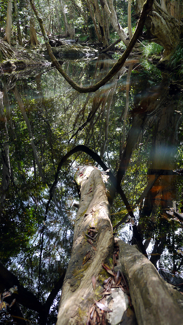
‘The Landing’ signals the end of the steep climb and the start of the rainforest. From then on it’s an easy undulating roll before the trail drops down into the picturesque Robbins Creek before climbing up to the top of the Bump Track just off Black Mountain Road.
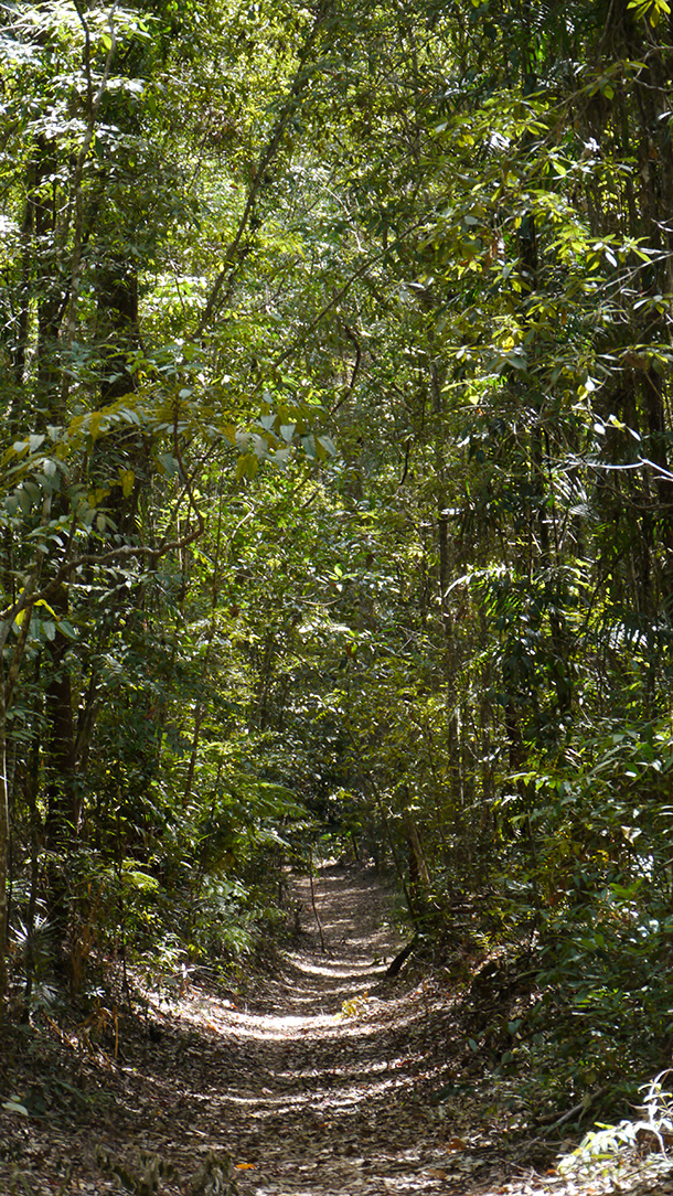
Riding the Bump Track from top to bottom is classic old school MTB. From warping down rainforest chutes to the butt clenching final descent it’s a blast!
Smell something steaming when you get back to your car? Check your rotors… and your pants 😛

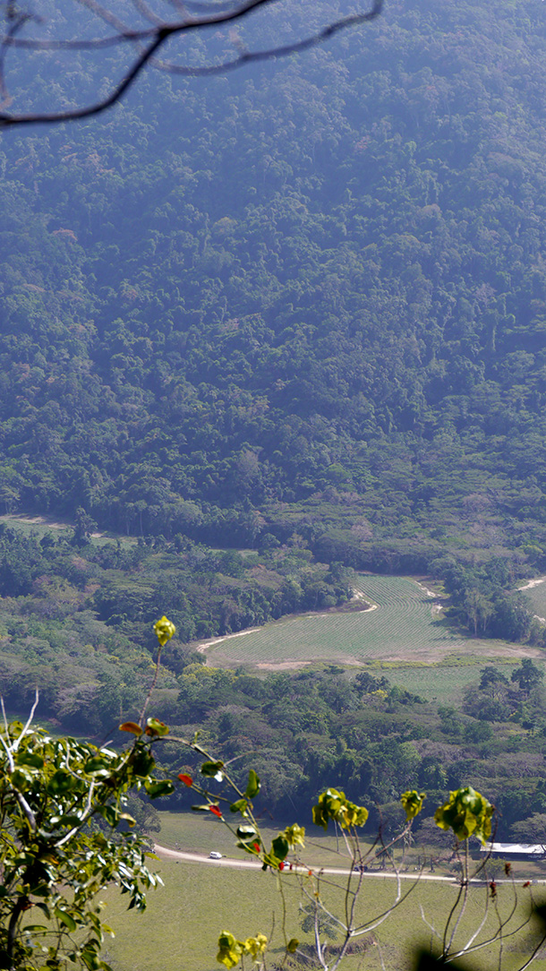
The view from ‘The Landing’. There’s my van down on the dirt road!
The top gate of the Bump Track. Check your brakes before turning around and descending 🙂

